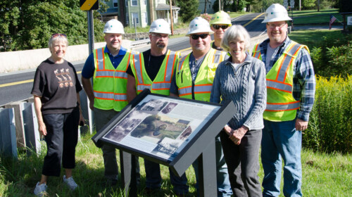
Two newly designed interpretive signs were installed on either side of Haag’s Mill Bridge in South Sterling. Diane Smith designed the panels and worked with Tom Opalka, Design Services Engineer, PennDOT, on the project. The titles of the panels are “Lower Mill Creek Industrial Site 1850 –1920” and “Lower Mill Creek Historic Site.” Each panel has a QR code for more history.
The interpretive signs highlight the importance of the site in the nineteenth century when it was the focal point for intensive water-powered industrial development. The area was composed of the Rohrbacker farm, gristmill and butcher shop; the Haag farm and gristmill; a one-room schoolhouse; and a stone arch bridge across Mill Creek. The Rohrbacker gristmill did barter and custom milling for local farmers, and the Haag gristmill did both commercial and custom milling. Both mills remained in their respective families for three generations and continued to operate into the 1920s. One of the signs features a detailed map of the structures associated with the mills, including the archaeological remains of breached dams, mill races, segments of penstocks, and foundations that document their original locations. Although the mill buildings were washed away in the Flood of 1955, their remnants depict the manner in which the waters of Mill Creek were utilized in the operation of this agriculture-based industry.
Prior to the construction of Haag’s Mill Bridge in 1873, travelers on the Newfoundland Turnpike (Route 191) had to cross the creek atop the crib dam that impounded water for the Rohrbacker gristmill. Residents petitioned the county for a bridge across the creek as early as 1843 but were unsuccessful. They tried again in 1871 and this time County Commissioners George Hittinger, J.B. Eldred, and S. N. Bushnell approved their petition. The double-span stone arch bridge was completed in 1873. At the time, wooden and iron bridges were being replaced with stone and concrete structures, and Haag’s Mill Bridge demonstrated the successful evolution of stone-arch bridge-building in America. The bridge was listed on the National Register of Historic Places in 1988.
The construction of Haag’s Mill Bridge reinforced the importance of the Newfoundland Turnpike as a regional transportation route and ensured both the Haag and Rohrbacker mills access to customers and to markets. The bridge was built of native stone, with sidewalls and wing walls of coursed rubble ashlar. The semicircular arch spanned 24 feet and rose about 20 feet above the creek, with dressed stone voussoirs. The structure was approximately 65 feet long and about 25 feet wide, including the parapets, and it carried two 10-foot-wide travel lanes. In 1934, the bridge was widened on the downstream side, requiring partial reconstruction of the arch and the relocation and shortening of the east sidewall and wing walls. It was one of the most beautiful and most often photographed bridges in the area.
Although the bridge survived the record-setting Flood of 1955, its northwest corner sustained substantial damage. In 2009 the state’s Department of Transportation demolished the bridge “due to deterioration and substandard roadway deficiencies” and replaced it with a modern concrete design similar in appearance. A large culvert echoes the 24-foot arch of the original bridge, and the stamped concrete sidewalls mimic the historic coursed stonework.
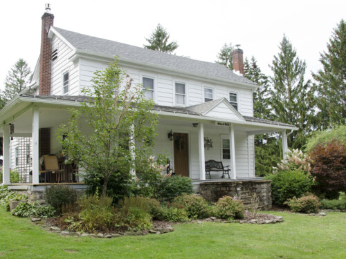
Today, Lower Mill Creek is rich in buildings and structures that represent the agricultural and industrial pursuits of the nineteenth century. Four privately owned homes, as well as the adjacent barns and outbuildings, remain on the site. They serve as excellent examples of the hall-parlor I-house form and the Pennsylvania bank barn with forebay, durable architectural styles common in the Poconos during the period between initial settlement and the modern era.
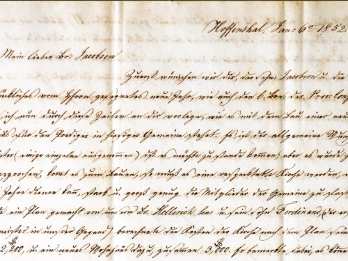
For more information about the families who settled along Mill Creek and the mills they operated, see The Mills of Lower Mill Creek 1830–1930.


